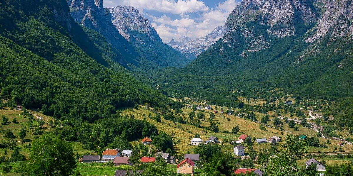
Gucia is a town near the Plava Strait, located on a mountain slope and serving as the center of an administrative unit in Montenegro. In the vicinity of Gucia, there is another village of Albanian roots, Vuthaj. Near Gucia is the border crossing with Albania (Vermosh-Gucia).
The Gucia mountains stretch along the state border with Albania, starting from Troyan in the west to the great Sjapica in the east. With the valleys of Ropojan and Vruje, as well as Gerbaje and Doli, the part of Gucia that lies in Bjeshket e Nemuna can be divided into three groups: Trojani, Popadija, Vollushafakti, Talijanka, Maja e Karanfilit, Maja e Podgoja, Brada e Vezir, and Bjellqi e Bori.
A very significant and important resource of Gucia is its hydro potential. The hydrological network of the area is made up of a large number of rivers, streams, lakes, underground sources, underground lakes, and rivers. In this way, this hydrological area is classified as one of the richest in Montenegro.
This natural asset has multiple functions in Montenegro, such as providing drinking water, supporting agriculture, energy production, fishing, tourism and sports, and maintaining the ecosystem in general. An extraordinary wealth and diversity of tourist resources, especially natural ones (mountains, waters, climate, biodiversity), contribute to its significance.


")